|
~8 months to launch
|
1 React Native app, iOS + Android
|
Additional observation layer alongside satellite and atmospheric data
|
Anthem Award winner, Sustainability & Climate
|
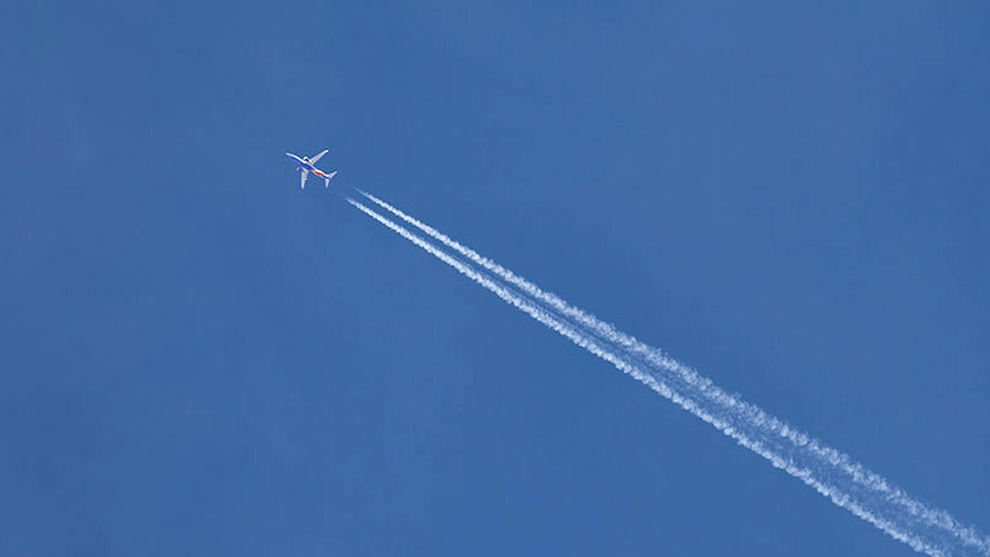
Contrails account for roughly half of aviation's warming impact. The fix takes no new technology.
A commercial jet flying two thousand feet lower, or routing slightly around the wrong patch of sky, can skip the atmospheric conditions that turn its exhaust into a persistent, heat-trapping cloud. No new aircraft, no new fuel, and no passenger inconvenience.
The hard part is knowing which patch of sky. Contrails.org has spent years building atmospheric models that predict where contrails will form and what impact they will have on the climate. These models need ground truth from the real world observations to build confidence in their accuracy.
"It's so exciting to see momentum building around contrail management. It's a rare opportunity where relatively simple technology could have such a huge near-term climate benefit."
— Marc Shapiro, Contrails.org
The Challenge
A scientific tool that had to feel like a consumer app
The same app had to serve atmospheric researchers, commercial pilots, and curious people who had never heard the word contrail. The capture flow had to be fast enough that a pilot on a layover would use it. The data coming out the other side had to be clean enough to validate a climate model.
Capturing sensor data that is actually usable
A photo of the sky is not useful without the metadata underneath it. Every observation needed GPS coordinates, compass heading, altitude, device pitch, and timestamp accurate enough that researchers could match it against a specific point in the atmosphere at a specific moment. Reading those sensors consistently across iOS and Android versions turned out to be one of the build's harder problems.
A limited budget for a project that had to keep running
This is not a product with a revenue model. The budget had to cover build and ongoing maintenance for a mobile app that needed to stay current with every new OS release for years to come.
The Approach
Start from scratch
HappyFunCorp kicked off and made the first decision in the first week: a clean React Native foundation on Google Cloud Platform would let the team ship iOS and Android from a single codebase, which was the only way it would work for ongoing maintenance.
Design for the pilot on a layover
The capture flow had to work in under ten seconds for a user who would never read a tutorial. Point phone at sky, take photo, submit. Everything scientific happens behind that interaction. The app reads GPS, compass heading, altitude, pitch, and timestamp from the device and packages them with the image before the user sees a confirmation screen. A researcher submitting a sequenced observation set gets the same speed as a bystander sending one photo.
Build the observation as a data object, not an image
Every submission is structured so it can enter the validation pipeline without human cleanup. If a prediction model forecasted contrails in that location and time, the observation confirms it. If the photo shows a clear sky where the model said contrails, the researchers can pull the atmospheric readings for that moment and figure out what the model missed. Both outcomes make the science better. The citizen science feed joins satellite data, in situ sensors, and other ground cameras as an additional validation layer inside the broader observation data ecosystem.
Price the engagement for the life of the app
A one-time build would have been the wrong structure for a climate research tool. The engagement was priced for a launch followed by a sustained retainer, which is how the team caught the iOS 17 camera library break in late 2023 and had it patched before it broke observation submissions at scale. Upgrading to restore iOS functionality then caused failures on Android. Those cascading compatibility issues are what cross-platform mobile development looks like in real life, and they are why senior engineering time needs to be available every quarter, not once at launch.
The Results
The app launched in November 2023, eight months after kickoff, and won an Anthem Award for Sustainability, Environment & Climate the following year.Observations from researchers, pilots, and citizen scientists are now actively contributing to Contrails.org’s data ecosystem to support contrail model evaluation. Contrails.org is testing these models with airlines and other industry partners to integrate contrail predictions into the flight planning ecosystem.
"We envision a world where intelligent route planning and management eliminates climate warming contrails, 1 to 2% of human-caused warming, with near-zero cost."
— The Contrails.org team
This is the kind of engagement HappyFunCorp is built for: a research team with a serious climate thesis, a mobile product that has to work for both scientists and everyday users, and a budget that has to cover the full life of the app instead of a single launch. The handoff philosophy is the point. Contrails.org ships when it needs to ship, gets patched when iOS breaks the camera library, and keeps serving the model validation work that makes the larger climate case possible.
Have a research-backed product that needs to ship, launch, and keep running on a sustainable budget?